The scope of consultation includes:
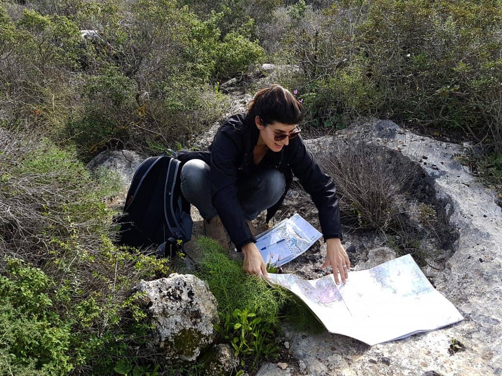
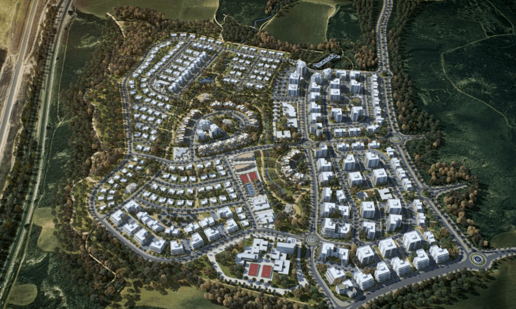
Initial survey and analysis of environmental characteristics of the project site followed by the preparation of guidelines for sustainably implementing the project with environment factors in mind. This process includes: analysis of existing physical conditions of the project site, identifying the appropriate site location and project layout according to the existing physical conditions and characteristics, preparation of solutions to minimize impacts of the settlement on its surroundings, plans for minimizing disturbances to nearby residents, and the integration of elements of sustainable design within the project (e.g. Bioclimatic Design, waste sorting systems, pedestrian walking zones, etc.).
All plans take into full consideration the surrounding environmental characteristics, including the local landscape, ecology, hydrology, and the potential for land preservation.
Fields of expertise for our department include:
- Preparation of environmental and landscape reports according to the National Outline Plan 35/1
- Preparation of Green Building and Sustainability Planning report according to the local municipal guidelines
- Preparation of project implementation recommendations according to the Israeli “Neighborhood 360” guidelines, created by the Israeli Green Building Council and the Ministry of Construction
- Environmental Guidance including projects in the fields of settlement, tourism, and commerce in the Negev Bedouin communities
- Preparation of water-body management plans
- Agricultural Consultation – preparation of Agriculture Plan in consideration of natural water regimes.
- Waste-systems management.
Additional surveys in accordance with project characteristics:
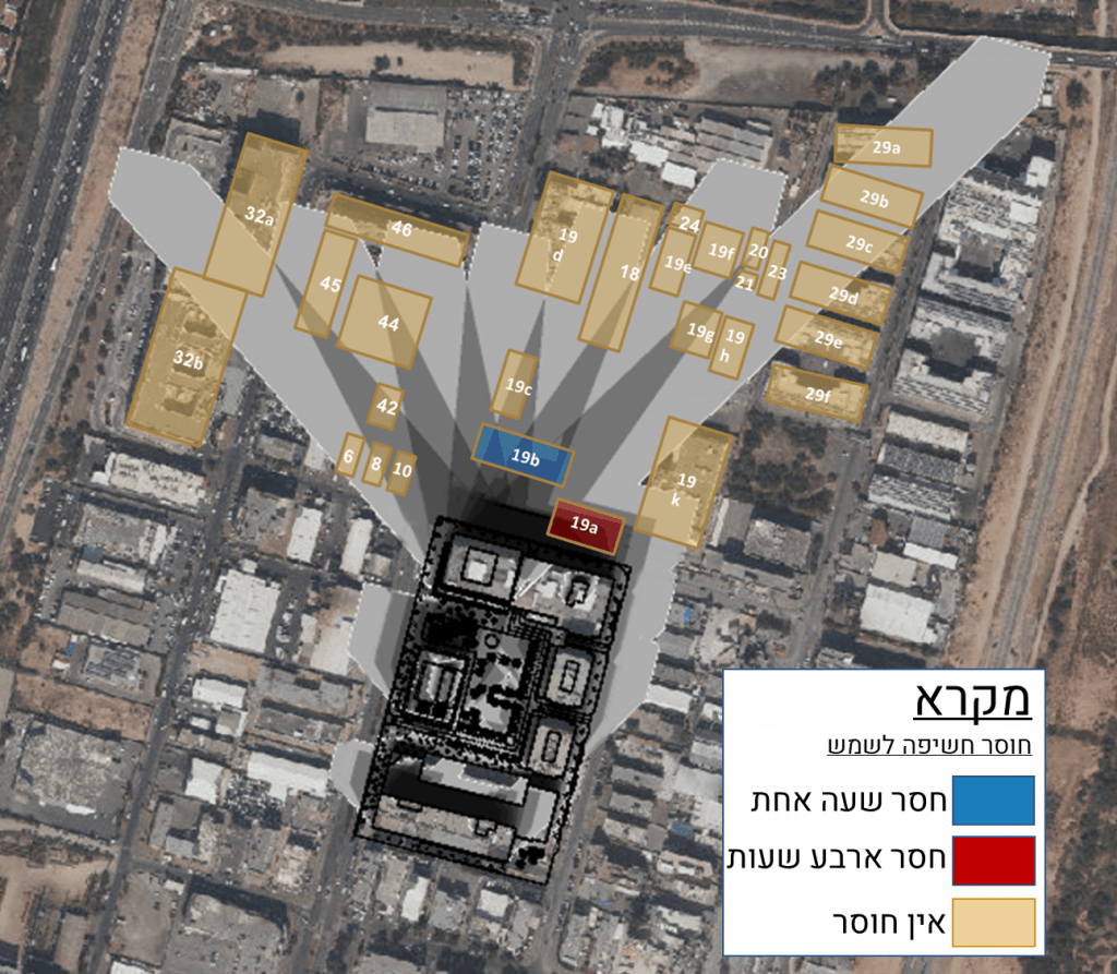
- Nuisances and Disturbances: Acoustic modeling, air quality modeling, Historical surveys of sites suspect of ground pollution or groundwaters (phase 1).
- Green Building: Shading Analyses and solar rights of existing buildings, climatic consulting, analysis of climatic data, illustrations of project outcome
- Thermal simulations of building performance using the program ENERGYui
- Landscape Architecture consultations and illustrations
The GIS unit is involved in nearly all of Geoteva’s expert consultations, including in-depth mapping and advanced site analyses. Our GIS work includes:
- Statutory mapping, land-use and existing infrastructure within project sites, a broad variety of GIS solutions for collaborative real-time planning with project initiators
- Use of satellite imagery, aerial photography of fieldwork, and other tools in a comprehensive and multi-layered geophysical examination of the area for the production of observational analyses, continuity of open spaces and more.
- Statistical and spatial analysis using advanced GIS tools including 3D Analyst and Spatial Analyst